The Site Today
What the proposed 1.4-mile flow trail corridor actually looks like. All photos taken May 2026.
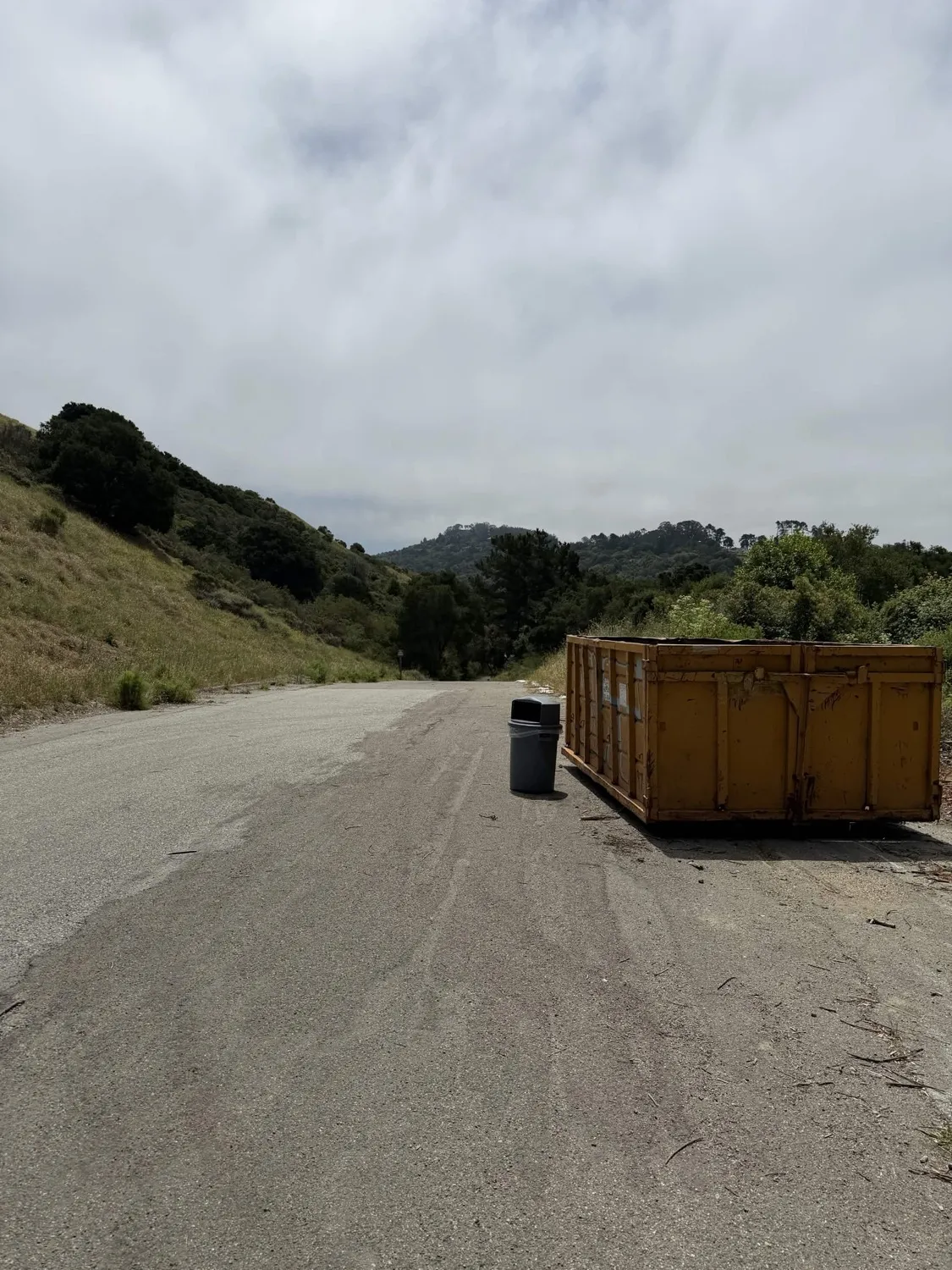
Existing Infrastructure
Paved roads, service facilities, and fire roads already in use throughout the corridor.
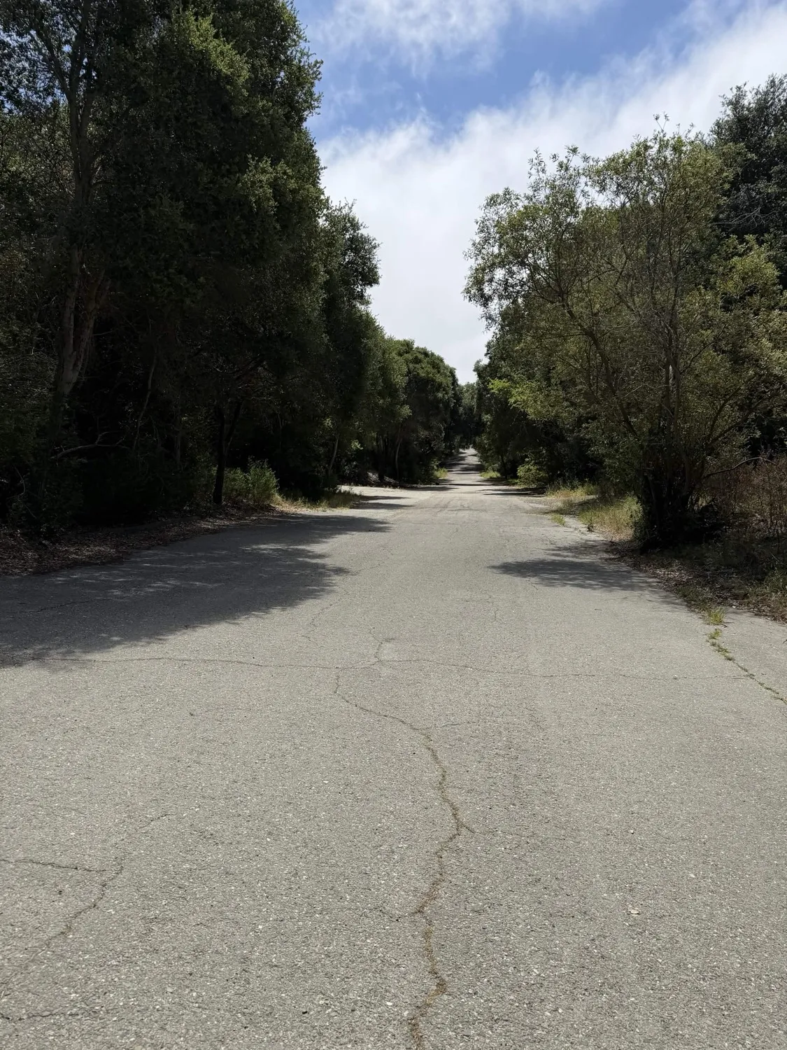
The main access trail: a wide paved road dating to the early 1900s.
Existing infrastructure along Wildcat Creek Trail.
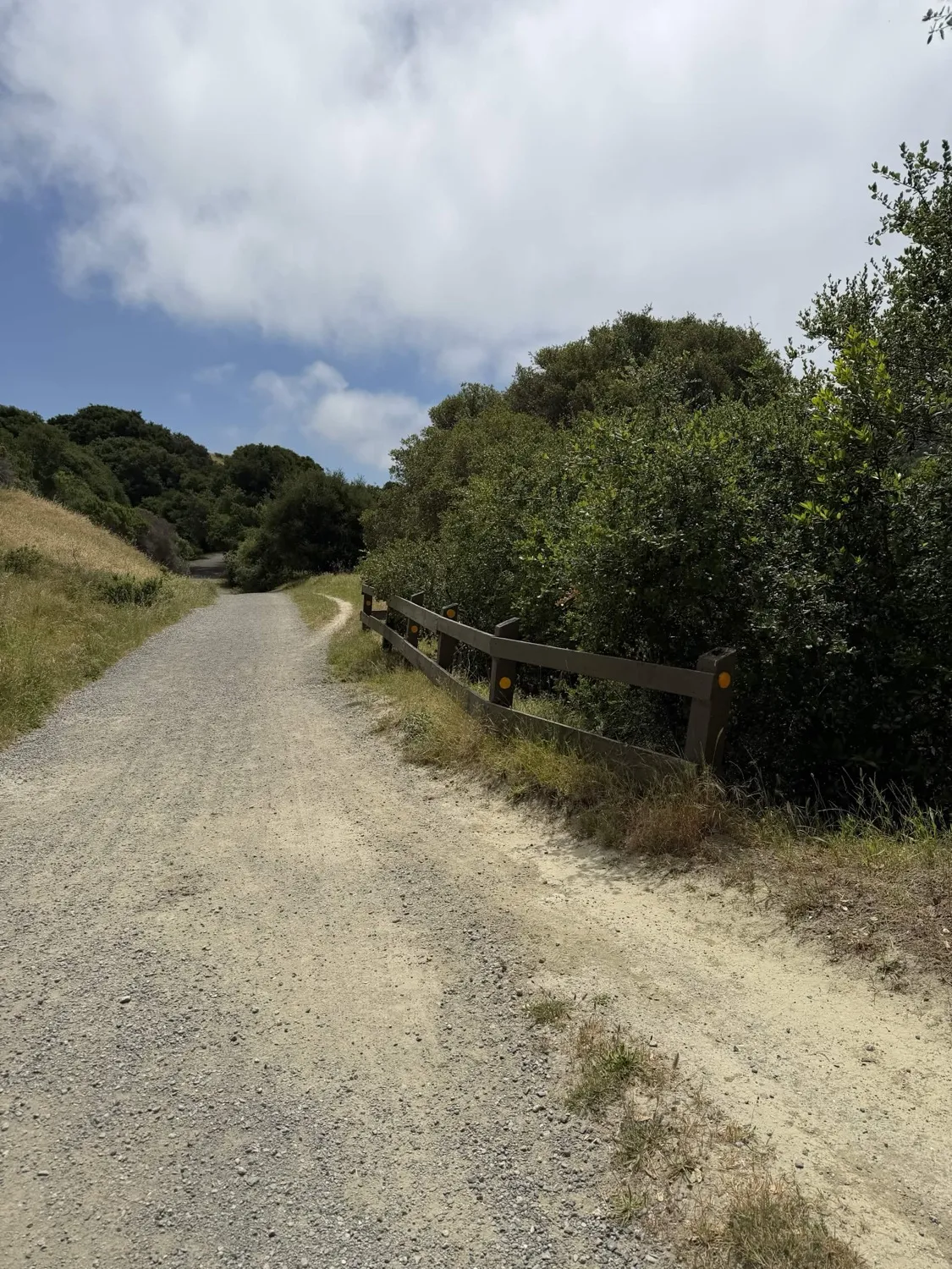
Wildcat Creek Trail connector — where bikes already ride today.
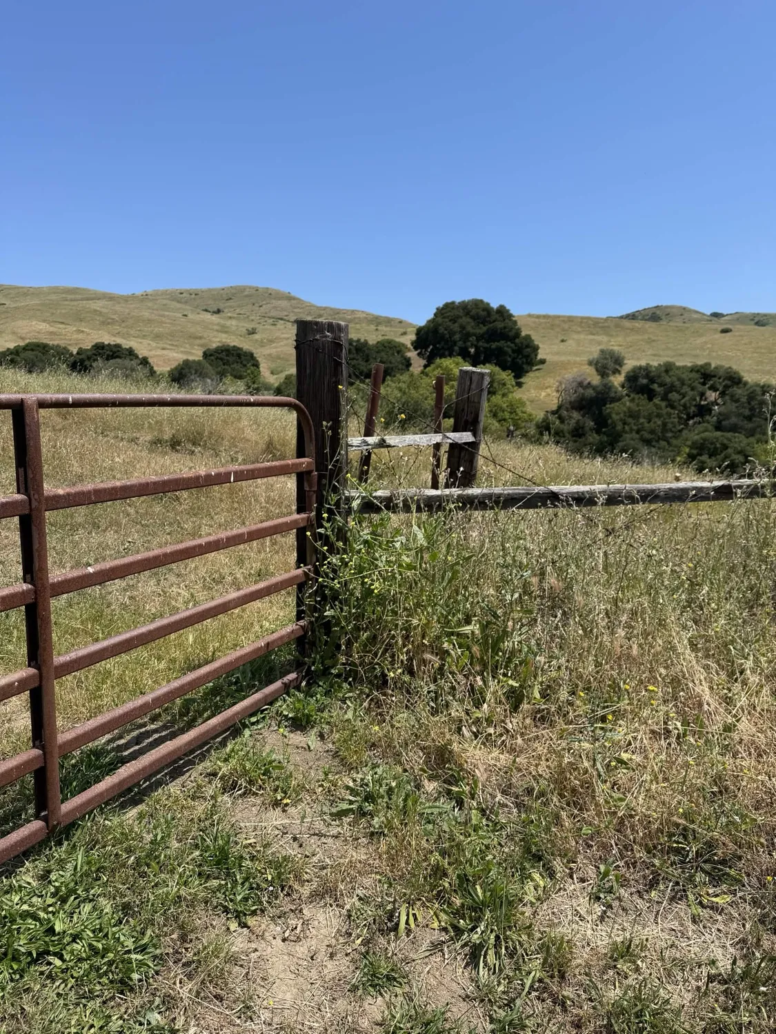
Ranching infrastructure throughout the corridor.
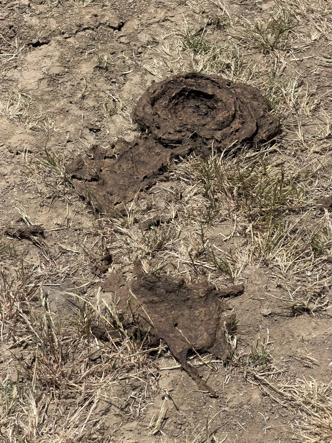
Cattle Grazing Land
The trail corridor is active ranch land with cattle, fencing, and grazing infrastructure — not pristine wilderness.
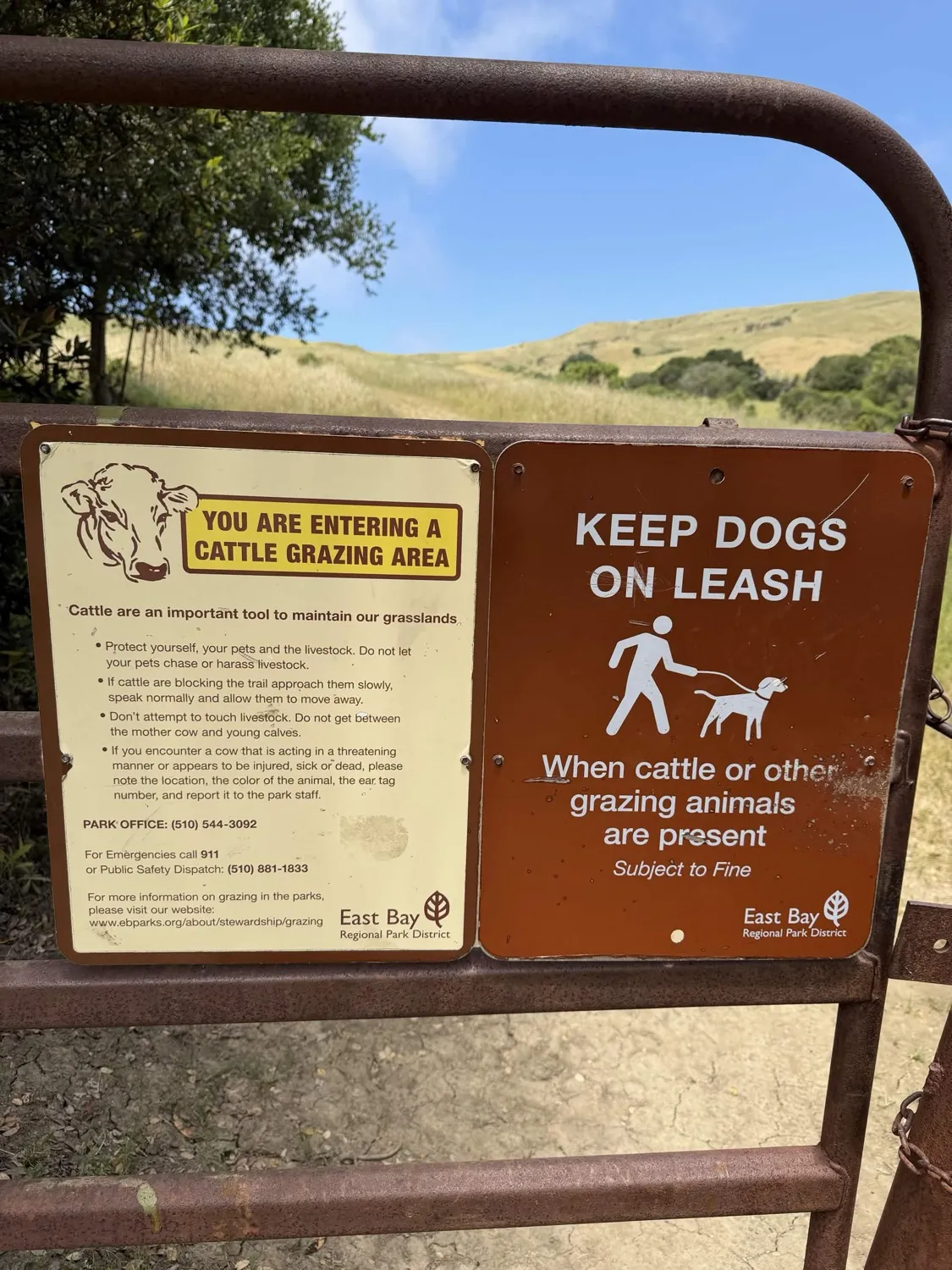
Official EBRPD signage at the corridor entrance.
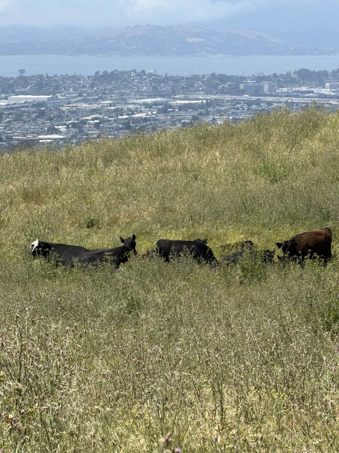
Active cattle grazing with Richmond and the Bay below.
The trail corridor is working ranch land.
The View
Open grassland above Richmond and the San Francisco Bay — an urban park serving over 350,000 nearby residents.
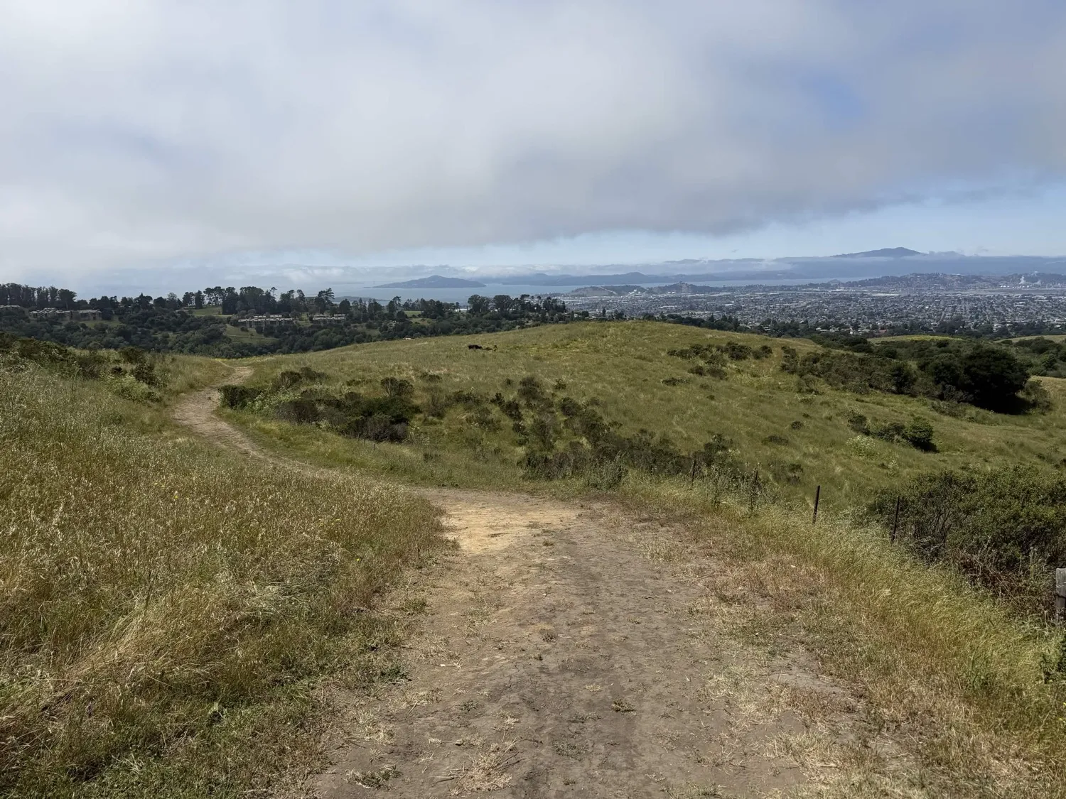
Open grassland above an urban area of 350,000+ residents.
Photos taken May 2026 at the proposed trail corridor. The flow trail would add a 4-foot-wide dirt path alongside this existing infrastructure — paved roads, fire roads, cattle fencing, and active grazing land that has been in continuous agricultural use since the 1800s.